Satellite images provide key to virtual farm tour
10th June 2020
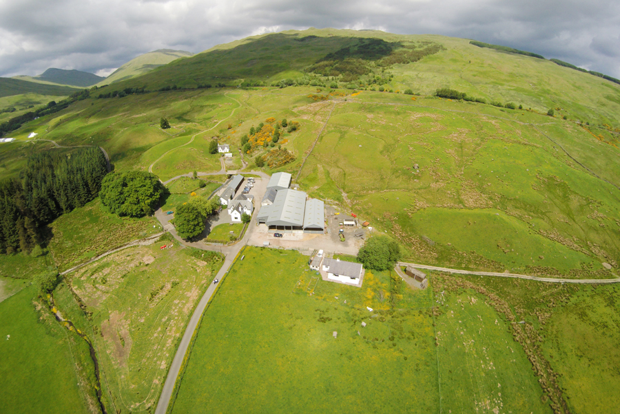
Scotland’s Rural College (SRUC) is using satellite imagery to offer virtual tours of its upland research farms in Perthshire.

Scotland’s Rural College (SRUC) is using satellite imagery to offer virtual tours of its upland research farms in Perthshire.
Usually at this time of year, farm and research staff at SRUC’s Hill & Mountain Research Centre would be hosting two or three visits a week to Kirkton & Auchtertyre farms.
However, given the current restrictions imposed due to the coronavirus pandemic, they have come up with a novel way to highlight some of the wide range of activities on the farms.
Following the example set by Cath Seeds, Programme Leader for Countryside Management at SRUC – who developed a virtual field trip for students just as lockdown started, they are using Google Earth to offer farm tours.
John Holland, an Upland Ecologist at Kirkton & Auchtertyre, has used an extensive photo library to develop three virtual tours looking at the biodiversity management and cultural history and archaeology of the farms, and the public or ecosystem services they provide.
As the farms are a LEAF (Linking the Environment & Farming) Innovation Centre, they chose LEAF’s Online Farm Sunday event on Sunday 7 June to launch the tours.
Davy McCracken, Head of the Hill & Mountain Research Centre, said: “The tours provide a fascinating insight into the farms and we are pleased at how well they were received by attendees at LEAF’s Online Farm Sunday event.
“Although we will get back to hosting face-to-face meetings on-site at some point in the future, such virtual tours provide an alternative way of bringing the farms to others. We are investigating what other aspects of research on the farms – such as our use of sensor technology – could also be illustrated in this way and used for our own virtual events.”
The tours can be accessed at: bit.ly/3h3g5BO on Google Chrome (if using a desktop and laptop) or on mobile phones.
